Launching GeoDownloader.com: Simplifying OpenStreetMap Data Downloads
I’m excited to share my new project I’ve been working on: GeoDownloader.com, a tool I built to make downloading OpenStreetMap (OSM) data easier and more intuitive than other website I have been used so far. If you’ve ever struggled with getting the right geospatial data in the right format for your project, I think you’ll find this project useful too.
Why I Created GeoDownloader.com
Working with OpenStreetMap data is incredibly rewarding for geospatial projects, but it can also be frustrating. The data is rich and comprehensive, but accessing it in a way that fits your project’s needs can be time-consuming. I’ve personally spent hours wrestling with overly complex workflows, converting file formats, and extracting specific data from larger datasets. While there are websites that help you download data, I don’t find them intuitive. Thus, I decided to build another one to make it easier for myself and anyone else who faces similar challenges.
Downloading data for a specific area with a small number of features can be particularly time-consuming. There are several options for downloading data through GIS applications like QGIS, but I wanted to create something that runs in your browser for small tasks (for now 😉).
That’s how GeoDownloader.com was born – a website where you can quickly download exactly the data you need, in the format you need, without any unnecessary hassle.
How to use
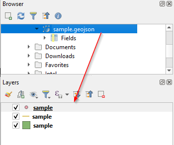
I’ve designed GeoDownloader with a simple and approachable interface, making it easy for users new to GIS or OpenStreetMap to start downloading data immediately.
Continue…
I’m excited to share my new project I’ve been working on: GeoDownloader.com, a tool I built to make downloading OpenStreetMap (OSM) data easier and more intuitive than other website I have been used so far. If you’ve ever struggled with getting the right geospatial data in the right format for your project, I think you’ll find this project useful too.
Why I Created GeoDownloader.com
Working with OpenStreetMap data is incredibly rewarding for geospatial projects, but it can also be frustrating. The data is rich and comprehensive, but accessing it in a way that fits your project’s needs can be time-consuming. I’ve personally spent hours wrestling with overly complex workflows, converting file formats, and extracting specific data from larger datasets. While there are websites that help you download data, I don’t find them intuitive. Thus, I decided to build another one to make it easier for myself and anyone else who faces similar challenges.
Downloading data for a specific area with a small number of features can be particularly time-consuming. There are several options for downloading data through GIS applications like QGIS, but I wanted to create something that runs in your browser for small tasks (for now 😉).
That’s how GeoDownloader.com was born – a website where you can quickly download exactly the data you need, in the format you need, without any unnecessary hassle.
How to use
I’ve designed GeoDownloader with a simple and approachable interface, making it easy for users new to GIS or OpenStreetMap to start downloading data immediately.
Continue…